LIDAR ANNOTATION
Training Data provides a full cycle of work on marking lidar clouds to create high-quality training datasets



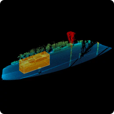
Lidar
(Light Detection and Ranging)
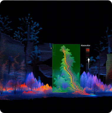
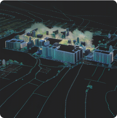
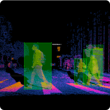
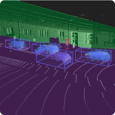
It uses a laser beam to measure distances to surrounding objects and create a point cloud representing a 3D map of the scene. Labeling LiDAR point clouds involves identifying and classifying objects using data obtained from the LiDAR sensor.
Services
Stages of work
-
Application
/01Leave a request on the website for a free consultation with an expert. Th e acco unt manager will guide you on the services, timelines, and price -
Free pilot
/02We will conduct a test pilot project for you and provide a golden set, based on which we will determine the final technical requirements and approve project metrics -
Agreement
/03We prepare a contract and all necessary documentation upon the request of your accountants and lawyers -
Workflow customization
/04We form a pool of suitable tools and assign an experienced manager who will be in touch with you regarding all project details -
Quality control
/05Data uploads for verification are done iteratively, allowing your team to review and approve collected/annotated data -
Post-payment
/06You pay for the work after receiving the data in agreed quality and quantity
Timeline
-
24 hoursApplication
-
24 hoursConsultation
-
1 to 3 daysPilot
-
1 to 5 daysConducting a pilot
-
1 day to several yearsCarrying out work on the project
-
1 to 5 daysQuality control
You pay for the work after you have received the data
in the established quality and quantity
in the established quality and quantity
Why
Training Data
- Quality Assurance:
-
Enhanced Data Accuracy
-
Consistency in Labels
-
Reliable Ground Truth
-
Mitigation of Annotation Biases
-
Cost and Time Efficiency
- Data Security and Confidentiality:
-
GDPR Compliance
-
Non-disclosure agreement
-
Data Encryption
-
Multiple data storage options
-
Access Controls and Authentication
- Expert Team:
-
6 years in industry
-
35 top project managers
-
40+ languages
-
100+ countries
-
250k+ assessors
- Flexible and Scalable Solutions:
-
24/7 availability of customer service
-
100% post payment
-
$550 minimum check
-
Variable Workload
-
Customized Solutions

